
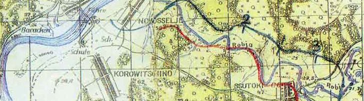
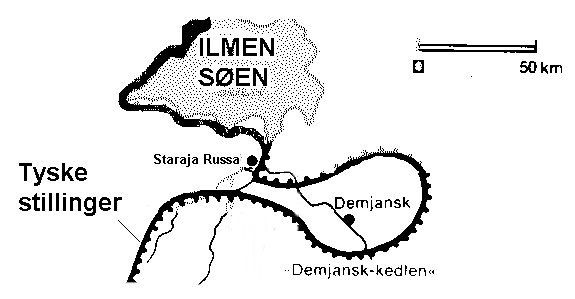
Frikorps Danmark was deployed in Russia in the marshland area around Lake Ilmen, 1942.
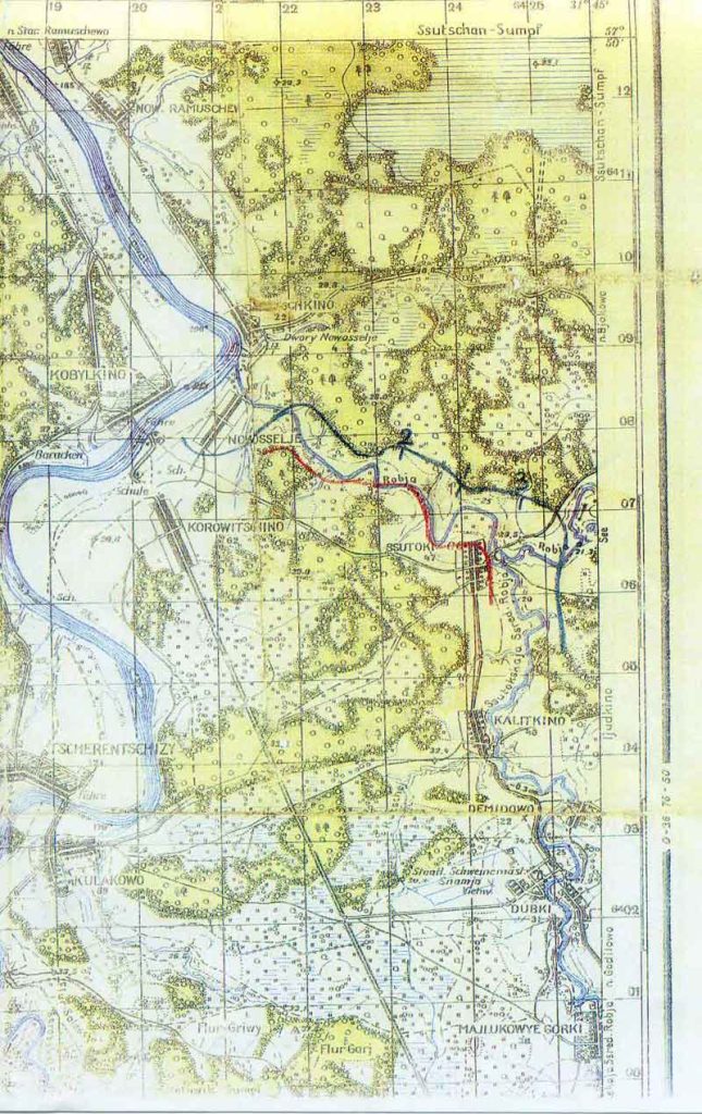
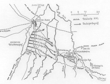
The town of Biakowo became the symbol of Frikorps Danmark in Demyansk; among other things, the headquarters and the “Heroes’ Cemetery” were located there. The town was later completely destroyed by the Russians, and today there is only a grassy field.
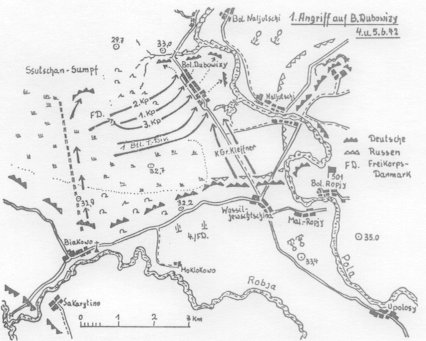
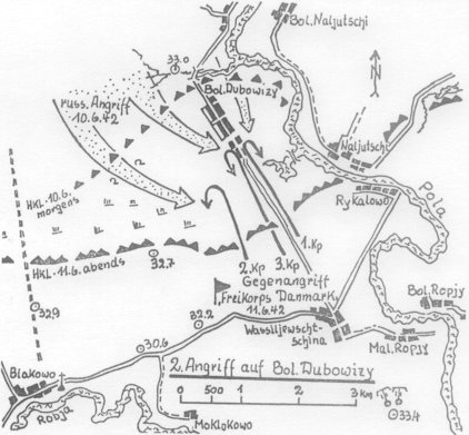
Some of the largest battles in the Demyansk Pocket were fought over the town of Boldobowizy.
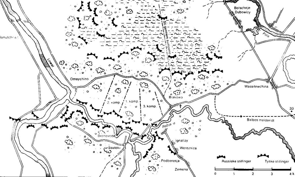
Overview Map of Demyansk
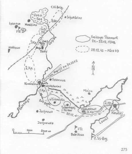
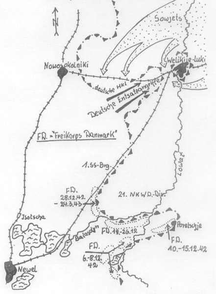
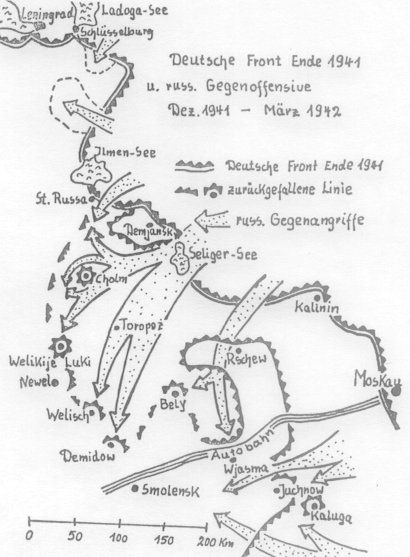
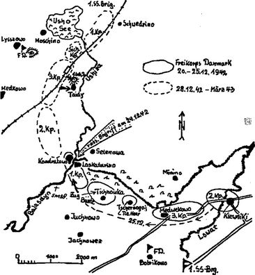
From October 1942, Frikorps Danmark was deployed in the Nevel area.
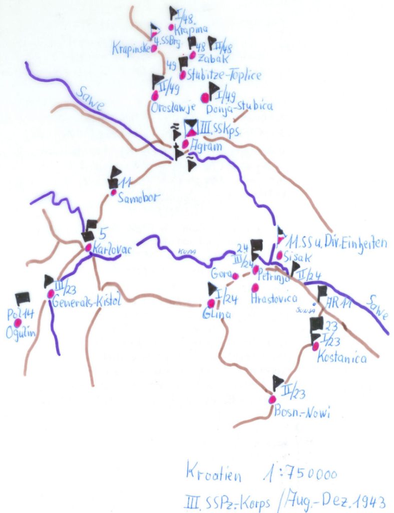
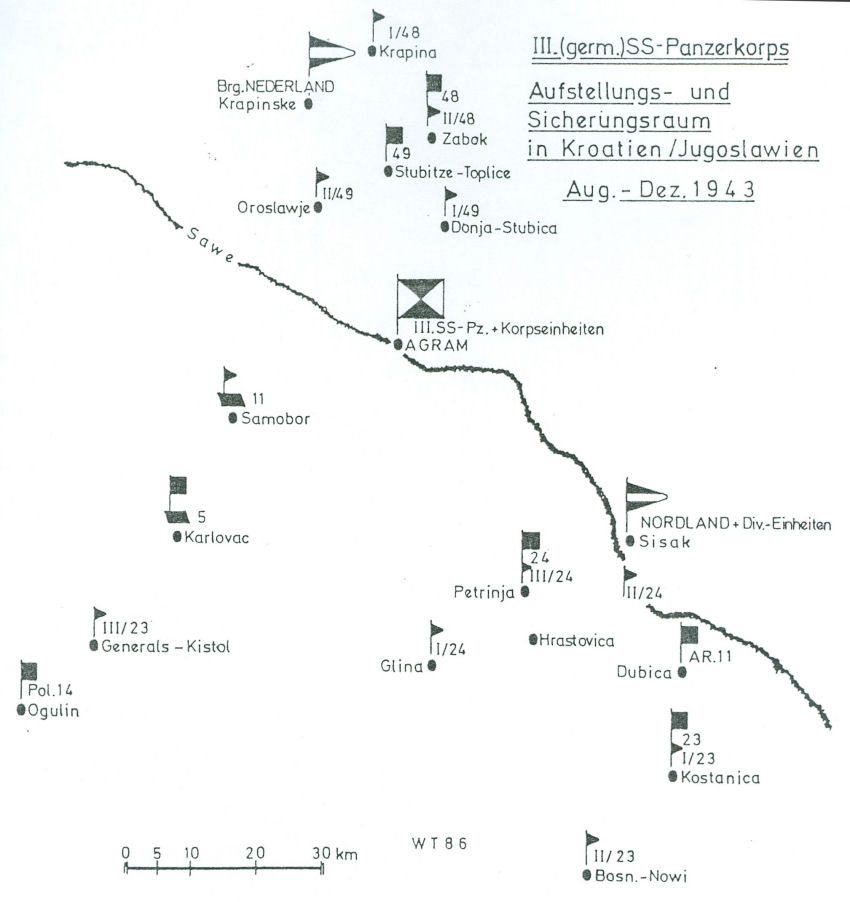
After the establishment of Regiment 24./Denmark in April 1943, the Danes entered new frontline operations from August 1943 in Yugoslavia, the area of Sisak, Dobownic, Agram.
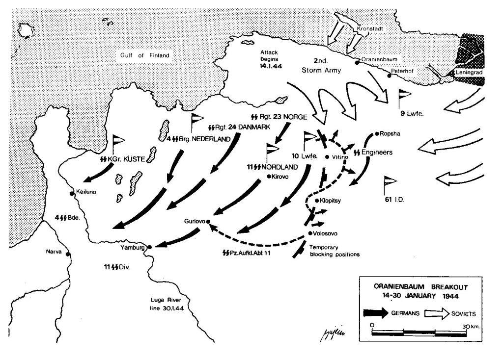
At the end of December 1943, the trip goes to the northern front near St. Petersburg, called Oranienburg.
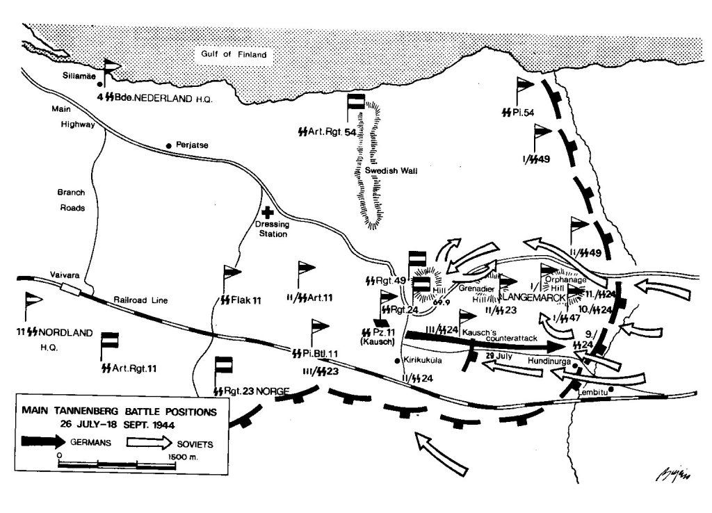
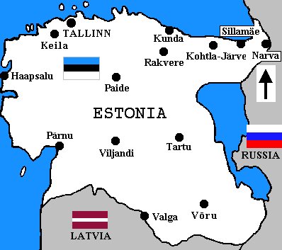
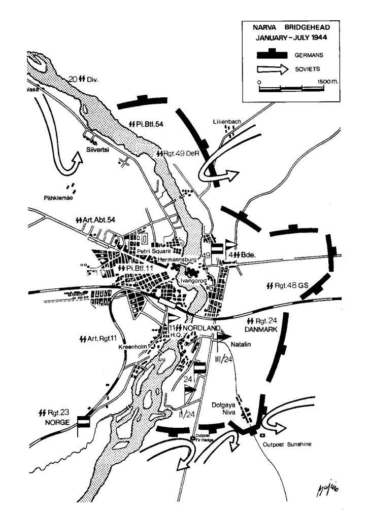
Later in the year 1944, they advance west to the Narva area.
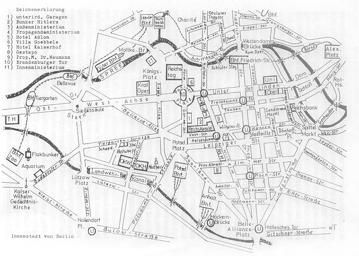
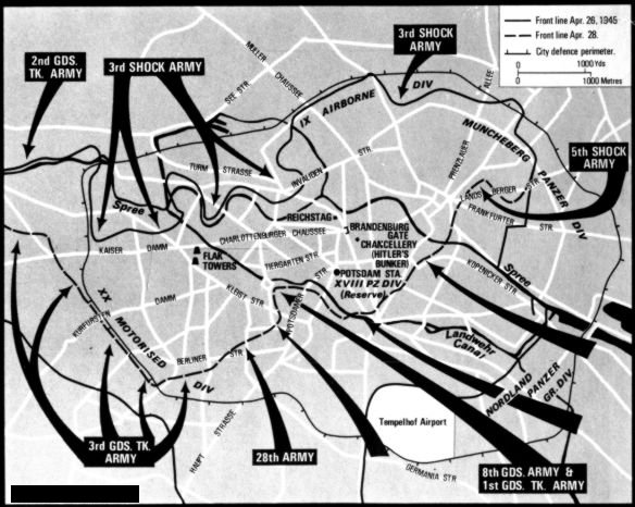
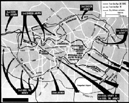
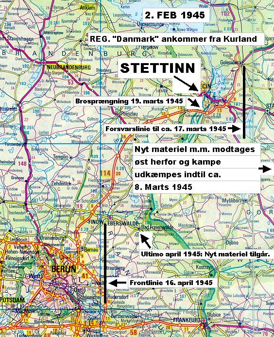
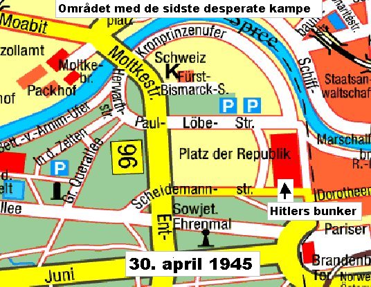
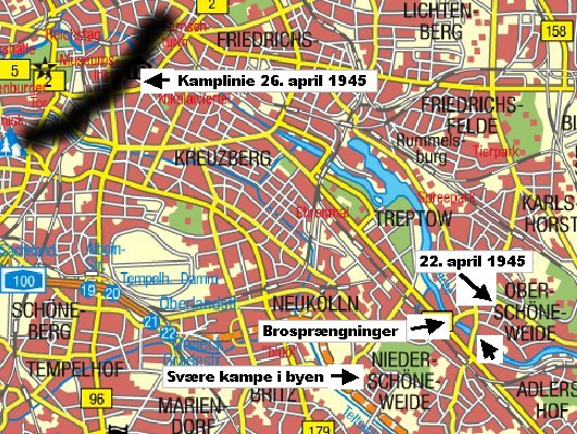
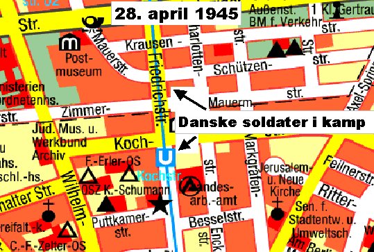
From Estonia down through Latvia (Courland) you end up north of Berlin in February 1945 and shortly afterwards in the centre of Berlin. The Danes were right up there in the street fighting in the centre of the city.
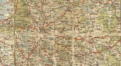
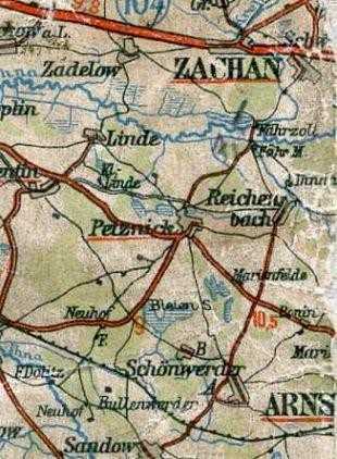
Near Berlin, several Danes fought in the Stargaard area. Several Danish graves can be found here today.